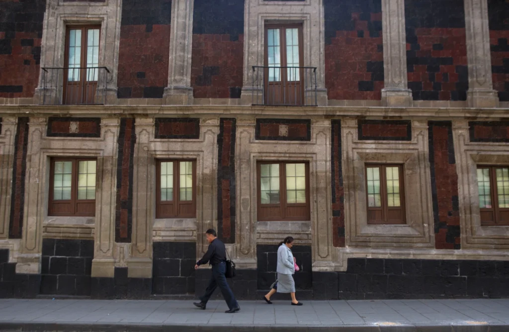
Mexico City is facing a serious ground subsidence crisis
Mexico City is sinking at one of the fastest rates recorded for a major urban area. New reporting based on NASA-linked satellite observations says that in some parts of the city the ground is dropping by about 0.78 inches, or 2 centimeters, per month. That is roughly 9.5 to 10 inches, or about 24 to 25 centimeters, per year. Researchers say the phenomenon is now so pronounced that it can be clearly identified from space. This is not a new problem. However, the latest satellite-based observations have made the scale of the crisis easier to measure and harder to ignore. Over less than a century, parts of Mexico City have dropped by more than 39 feet, or 12 meters, according to the reporting and scientific comments cited by AP. That makes the Mexican capital one of the fastest-sinking metropolitan areas in the world.
Why is Mexico City sinking?
The main reason is linked to groundwater extraction. Mexico City and its surrounding metropolitan area are home to roughly 22 million people, creating enormous daily demand for water. To meet that demand, authorities and communities have long relied on underground aquifers. When too much water is pumped out, the ground above begins to compact and settle. That slow downward movement is known as land subsidence. The geology of the city makes the situation worse. Mexico City was built on the bed of a former lake system, especially Lake Texcoco. The soil below much of the city contains soft, water-rich sediments. These materials compress easily when groundwater is removed. As a result, the land does not sink evenly. Some areas drop faster than others. This uneven sinking is especially dangerous because it distorts buildings, roads, drainage pipes, and transport systems.
What are scientists seeing from space?
The new attention on the story comes from satellite measurements associated with NISAR, a NASA–Indian Space Research Organisation mission designed to monitor Earth-surface changes. According to AP’s report, the data used in the recent analysis covered observations from October 2025 to January 2026. Scientists used the measurements to track real-time surface deformation across the city. This type of observation is scientifically important because it allows experts to detect very small changes over large areas. Instead of relying only on field inspections, researchers can use radar-based remote sensing to identify where the ground is moving fastest. That helps planners understand risk zones around places such as the city’s main airport, major roads, and landmark areas including the Angel of Independence.
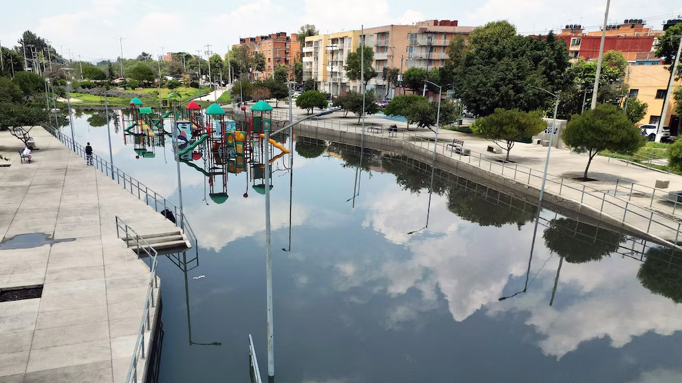
How is the sinking affecting the city?
The consequences are already visible. Buildings tilt. Streets crack. Water pipes and sewage systems come under pressure. Flood risk rises when drainage systems lose their designed slope or become damaged by uneven ground movement. AP quoted Mexican geophysics researcher Enrique Cabral, who said the sinking is damaging critical infrastructure, including the subway system, drainage network, potable water system, housing, and streets. This means the problem is not only geological. It is also social, economic, and public-health related. Infrastructure repairs become more expensive. Water losses increase when pipes fracture. Flooding can worsen during heavy rain. Poorer neighborhoods may face greater risk because they often have weaker infrastructure and fewer resources for adaptation. The crisis therefore affects both urban safety and long-term development.
Why this matters beyond Mexico
Mexico City is a major political, economic, and cultural center. When a city of this size faces structural ground instability, the implications extend far beyond local engineering concerns. It affects public investment, housing security, disaster preparedness, and water policy. It also serves as a warning to other large cities built on fragile sediments or dependent on heavy groundwater use. In that sense, Mexico City is becoming a global case study. It shows how rapid urban growth, population pressure, and unsustainable water extraction can combine into a slow-moving but severe urban crisis. Because the damage develops gradually, it can be underestimated. Yet over time, the cumulative effects become enormous.
What can be done?
Experts say the long-term solution is not simple. The city needs to reduce dependence on groundwater and improve how it manages water resources. That means investing in water recycling, rainwater capture, leak reduction, and more sustainable supply systems. Better monitoring is also essential. Satellite tracking can help authorities identify danger zones earlier and prioritize infrastructure reinforcement. There is no quick fix. Some ground compaction is effectively irreversible. That means the best strategy is a combination of adaptation and prevention. Authorities must strengthen vulnerable infrastructure while also trying to slow future sinking through better water governance.
Conclusion
Mexico City is not simply dealing with a local engineering issue. It is confronting a deep structural crisis tied to geology, water scarcity, and urban expansion. The latest satellite evidence has made the problem more visible than ever. The city is sinking, the impacts are already serious, and the challenge now is whether science, infrastructure policy, and political action can move fast enough to reduce the damage.